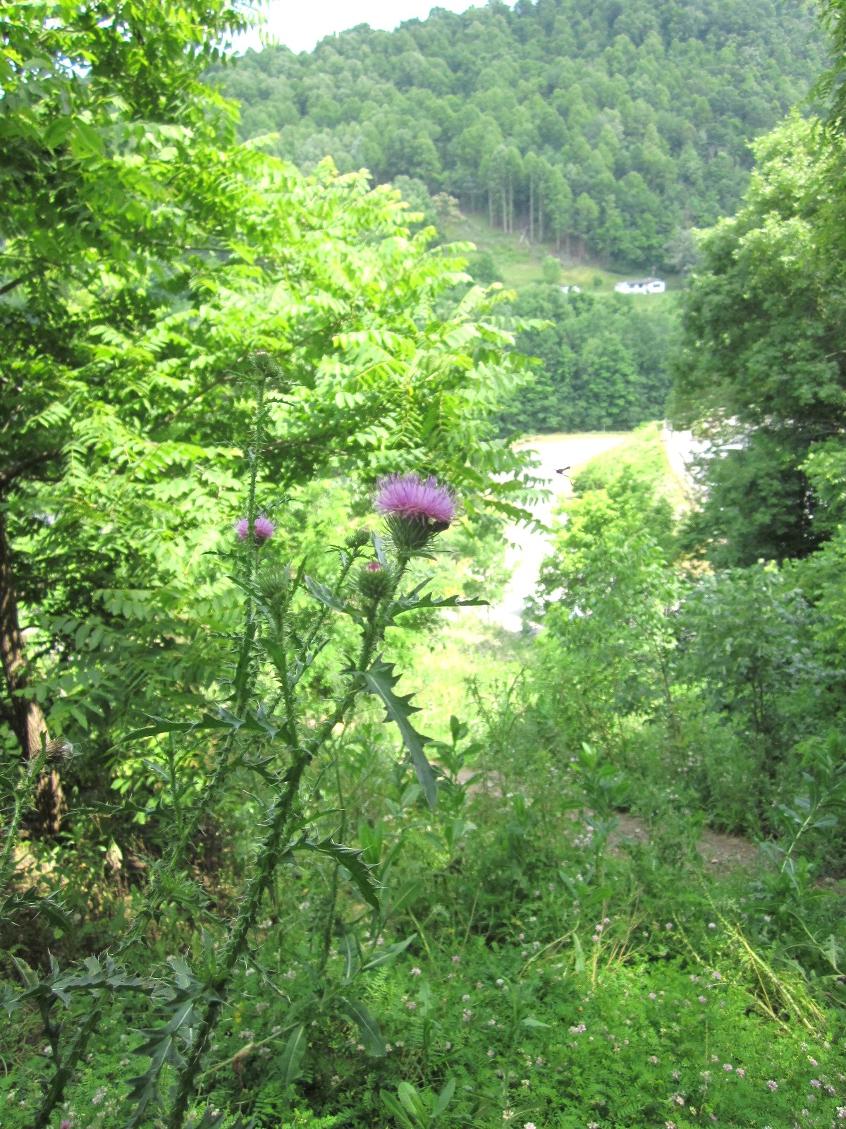
Grayson Highlands State Park, located at 829 Grayson Highland Lane in Mouth of Wildon, in southwestern Virginia boasts a wide variety of hiking trails meandering along its over 4500 acres of land. Hikers who are hiking the entire Appalachian Trail will at some point find themselves trekking through this state park with amazing panoramic views atop the ridge. Visitors tackling Little Pinnacle find themselves standing at an impressive elevation of 5,089 feet. But the wild ponies that call this state park home steal the show for most folks visiting Grayson Highlands.

My crew visited Grayson Highlands State Park in mid-May 2021. The trip from North Carolina took us on some scenic, back roads that were quite curvy, reminding me of driving to my parents' home town in the Cedar Bluff area in southwestern Virginia. If your kids are prone to motion sickness, this would be a consideration because I don't think there is a way to get to this park without the curvy roads. I encouraged my crew to watch the road as I drove and nobody ate within an hour of hitting the curves. Although some of my group said they felt a bit carsick, everyone said they enjoyed the visit to this park.

The park charges $10 to park. Annual passes are available for people who frequently visit Virginia State Parks. I tend to avoid parks that charge an admission or parking fee, but this was one park that I particularly wanted to give my family the opportunity to see.

After entering the park, you'll see a park office on the left. This building offered restrooms, a small gift shop, and great advice from the friendly and informative attendant on the day we visited. She took the time to let us know where to look for the ponies, where to park, and some information about the various hiking trails. People with mobility issues will find a beautiful view across the road from the gift shop. One can see the homestead just to the right if you look down and a little to the right. We didn't visit the homestead area, but a road on the right can take visitors to the homestead and picnic area.

As you continue driving, you'll see a particularly nice view a little ways farther where you can park your vehicle and see the view from the edge. I had been eyeing the campground online, so we took the road to Hickory Ridge Campground, where full service camping is available May through October. We saw several RVs, tents, a few yurts, and a lodgehouse. When I had looked online, it looked like the bathroom facilities were quite far away, but as we drove through, we could see that bathrooms were available near the lodgehouse. The official website offers a map and the ability to book reservations online with details about the various sites. It looks like many of the sites are booked by type rather than by the actual number of the site.

Beyond the campground road is a parking area for backpackers. I believe people have to have a special parking permit to park in this area, but trailheads to Massie Gap and the Appalachian Spur Trail are located at the edge of the parking lot. We parked in a parking area on the side of the road just above the backpacker's parking and walked down to the lot to begin hiking.

We were advised that the ponies are generally at Massie Gap or on the Rhododendron Trail, so we decided to hike up using the trail to Massie Gap. This trail was heavily shaded in many areas although the leaves on the deciduous trees were not quite open when we visited. The first part of the trail was narrow, preventing hikers from easily hiking side-by-side, but it was well maintained.

Many parts of the trails are well marked, but we did end up on the 2-mile Horse Trail East, taking us about a half mile out of the way and then backtracking when we realized we must have missed the trail when we were headed back to the parking lot from Rhododendron Trail. We never saw a sign indicating the trail where we had originally hiked toward Massie Gap. If you do take the shorter route back to the parking lot, look for the gate with the Appalachian Trail on your right unless you want to end up on an extra long hike on Horse Trail East. The good thing about taking extra trails however is the extra photo opportunities!

The Massie Gap area features a parking area that often fills pretty quickly, but you can skip the hike from the backpaker's parking lot if you can find a parking spot on further up at Massie Gap. Restrooms are located at that parking area. We saw quite a few hikers with dogs in this area and on several of the trails that we hiked. Sometimes the wild ponies are in this area, but not on the day we visited. We like to take our time on trails to enjoy the natural beauty all around - even if we haven't found exactly what we are looking for!

The 1.51 mile Cabin Creek trail begins across from the bathrooms in this area. This trail is mainly natural terrain with quite a few rocks and tree branches, so be careful where you step. The rhododendrons provide an excellent canopy that reminded us of an enchanted forest as we began that trail. A little further, the trail splits into a loop. We chose the right side and hiked along the the level, higher part of the trail first, which meant that we hiked along the creek going down. A few spots were muddy but passable - if you have hiking boots, I'd recommend wearing them.

The creek boasts numerous smaller waterfalls and one larger waterfall that we saw. There was an area to the right for an overlook with lots of stairs that we didn't hike, so I'm not sure what we missed in that area. Quite a few boulders are along the creek, and a couple of my kids liked sitting on the tree that looped down in front of the largest waterfall for a few pictures. If you are hiking the loop counterclockwise like we did, be prepared for an uphill hike on the way back to Massie Gap. If I hike this trail again, I would likely take the left fork going down.

If you stand facing the bathrooms in the Massie Gap parking lot, you'll see the Rhododendron Trail on the hill with a gate behind the bathrooms and to the left. A split rail fence flanks the first park of this trail. If you are looking for ponies and haven't found them at Massie Gap, this trail is where you will likely find them. The majority of this trail is uphill and a mixture of gravel and natural terrain. This trail is not as shaded, so I recommend sunscreen and a hat.

Once we were at the top, we took our time and enjoyed the amazing panoramic views. And yes, we found wild ponies near the top. Since they are wild, they might be in various locations, but if you ask other hikers, they will likely be able to point you in the right direction if they have already seen the beautiful animals. Although wild, most of the ponies we saw were grazing within sight of the trail and some were walking on the edge and even on the hiking trail. My crew was particularly delighted to see a tiny foal.

The Appalachian Trail crosses over near the top, and we saw several hikers walking along Wilburn ridge to the right. Quite a few boulders jutted above the land and a few people had conquered the climb to the top of the boulders, perhaps feeling on top of the world! Additional horse trails continued on to the left. We hiked part of the way on the left as we found several ponies.

One of my kids said seeing the ponies made this her absolute favorite park we have visited. That is saying a lot because we have hiked at quite a few parks in North Carolina, South Carolina, and Virginia. I'll have to say that this park was quite enjoyable for me too. Apparently, the weather can turn quickly on this mountain, but when we visited, the temperature was in the 50s and 60s and the sun was out, making for a gorgeous hiking opportunity and awesome views.

After hiking back to our car, we headed to the visitor center. You'll find places to park on the left with additional parking down and to the right. If you have folks with mobility issues, you'll want to drive up to the left to get closer to the building; however, it looked like parking was not available right in front of the building. The visitor center offers a gift shop, restrooms, and a small area with displays featuring Appalachian life from earlier years. The displays are informative and will bring back a sense of nostalgia for those who grew up in that area years ago.

We saw a butterfly garden in front of the visitor center, but the weather was not quite warm enough for butterflies when we visited. In fact, we discovered that the area had snow two days the previous week. The view in front of the visitor center was great as well. Behind the visitor center is the 1.33 mile Twin Pinnacles moderate hiking trail. My crew was all hiked out by that time, but I've heard this trail offers amazing views and some bouldering opportunities. Those who wish to boulder should check with staff for renting a mat if they do not have one with them.

Grayson Highlands State Park was a great experience for my crew, particularly because we had the opportunity to see wild ponies while we hiked. We hiked about four hours that day. You could easily stay here several days and try many different trails. Although we saw warning signs about bears, we did not see any bears when we visited. I had seen posts that longhorn cattle grazed in the area, but we didn't see any cattle when we visited. Although we saw quite a few hikers, each group was naturally spaced apart and it did not feel overcrowded. Other hikers were respectful and the trails were well maintained.

Those who like to ride bikes might be drawn to stay at this park since you can book shuttle service to the Virginia Creeper Trail, which is another awesome outdoor adventure. If you have ever wanted to hike just a small portion of the Appalachian Trail, this park can fulfill that goal. The park is adjacent to a national park, so there is no shortage of outdoor adventures in this area. Equestrian camping and trails are also available at this park.

Visit the Grayson Highlands State Park official web site for directions, prices, trail maps, and more.

Thanks for visiting Love 2 Travel With Kids! Visit this site map for more articles, and you may want to check out my blog Travel NC With Kids to see our travels throughout NC. Here are a few of my articles to get you started: